
Topographical Surveys
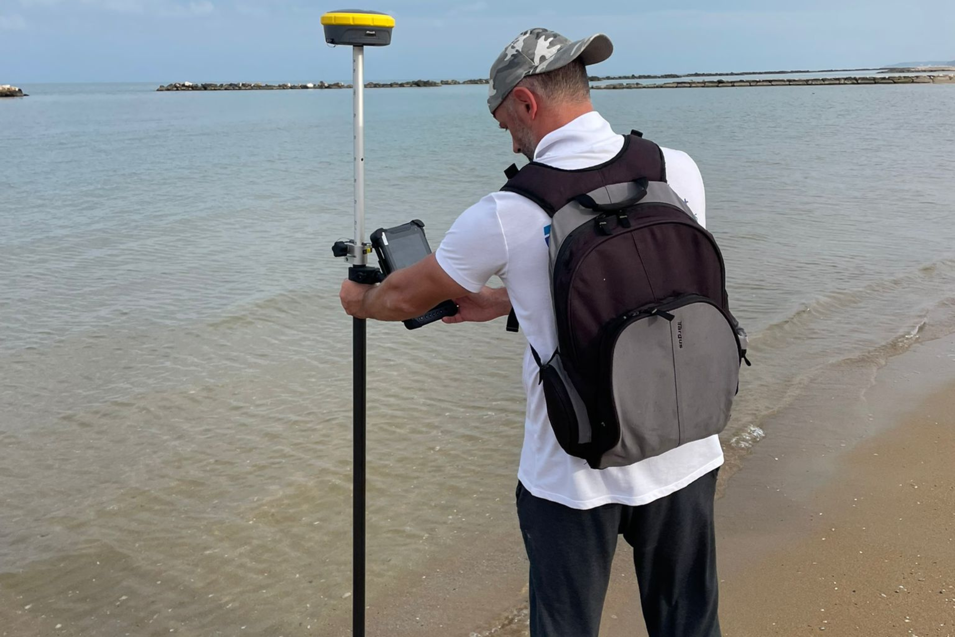
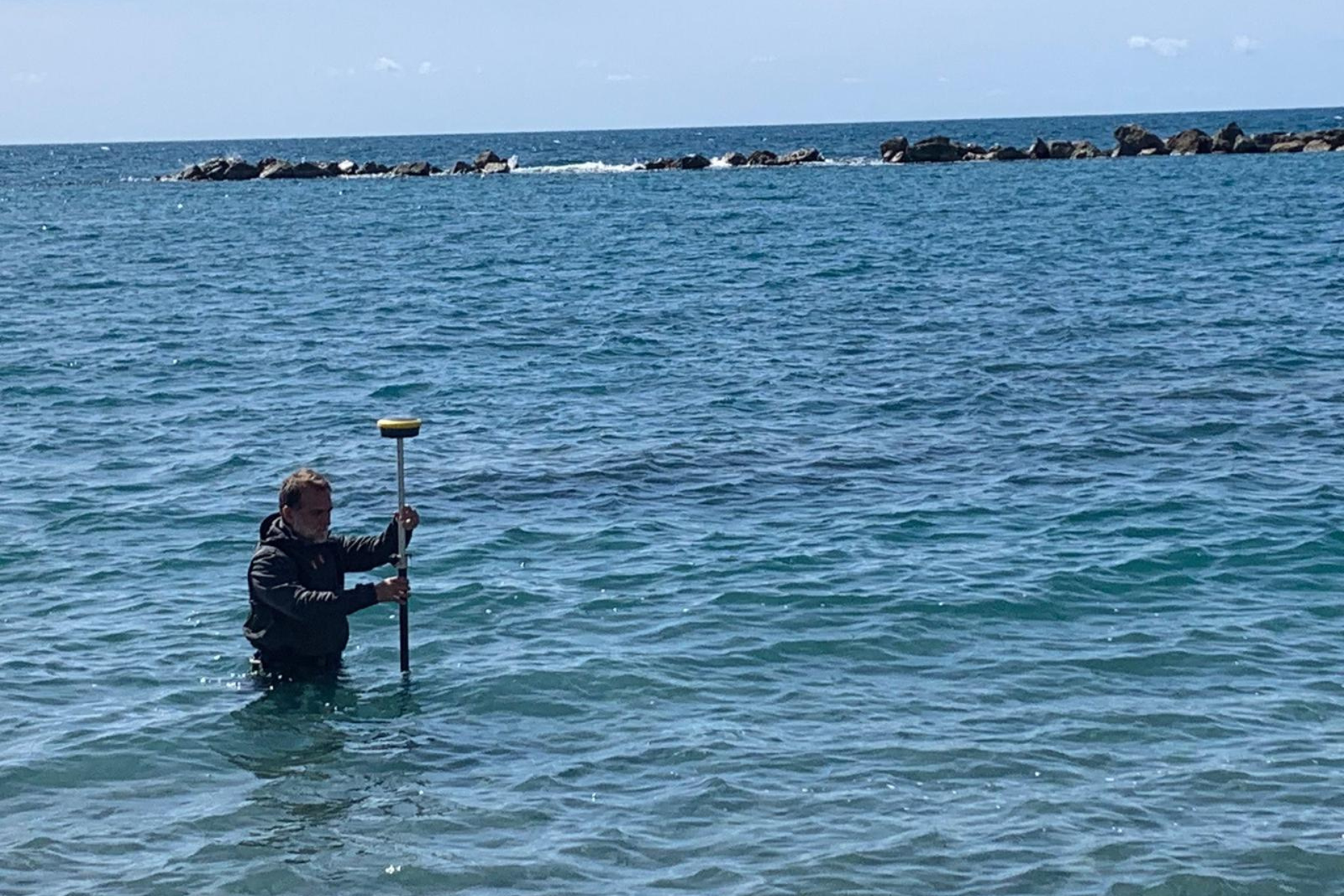
Topographical and bathymetric survey Riva Fiorita Marechiaro Naples
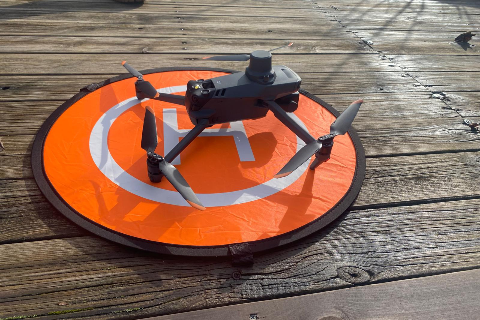
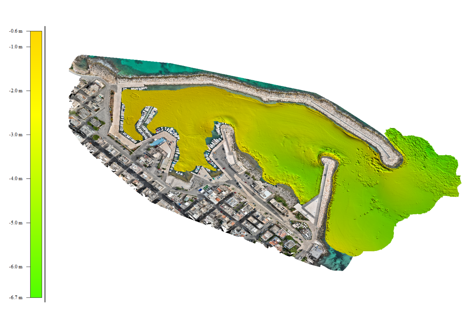
Enviroconsult offers advanced topography services, using state-of-the-art technology such as Drone, Laser Scanner and precision GPS systems. These surveys make it possible to:
Integrate seabed maps (land-sea surveys) for coastal engineering projects and infrastructure works.
Analysing coastal erosion and morphological changes in marine and lagoon areas.
Thanks to the combination of technical expertise and scientific approach, Enviroconsult provides reliable and detailed data, which are essential for a conscious and respectful planning of the marine environment.
We capture the hidden data of ecosystems
ENVIROCONSULT COASTAL ENGINEERING SERVICES
Consulting services, environmental monitoring, research, study and technical-scientific support for coastal engineering and the protection, management and recovery of aquatic ecosystems.
CONTACTS
Via Andrea d’Isernia n 28 – Napoli –
Tel./fax 081 3355268
Mobil + 39 338 9836132
E-mail info@enviroconsult.it

Enviroconsult is an integral part of the National Technology Cluster Blue Italian Growth.